Madhugiri · Ayvro guide
Madhugiri Fort: the climb is part of the history
We think of Madhugiri as a fort you climb through, not a trek with a monument waiting at the top. The granite steepens one gateway at a time.
Quick guide
The basics
- Distance
- About 105 km from Bengaluru
- Official route
- Around 3.5 km and two to three hours
- Setting
- Hill fort on a large granite monolith
- Historical layers
- 17th-century fortifications with later Mysore and British history
- Route character
- Steep rock, gateways and exposed sections
- Recheck
- Opening access, local instructions and weather
In this guide 4 min read
Start here
Do not let 3.5 kilometres fool you
We would not judge Madhugiri by its distance. The route is roughly 3.5 kilometres and usually takes two or three hours, but the bare rock, exposed upper sections and descent matter more than the number.
We do not treat the fort as a reward waiting at the top. Gateways, walls and bastions divide the climb into a series of defensive thresholds. We would come prepared for granite and height, then pay attention to the structure underfoot.
Share this sectionSeven walls between town and summit
The fort began taking shape in the 17th century under Raja Hire Gowda. Hyder Ali and Tipu Sultan strengthened it; the British took it in 1791. We find that history more legible here than it would be on a museum label because the chronology is laid out vertically in stone.
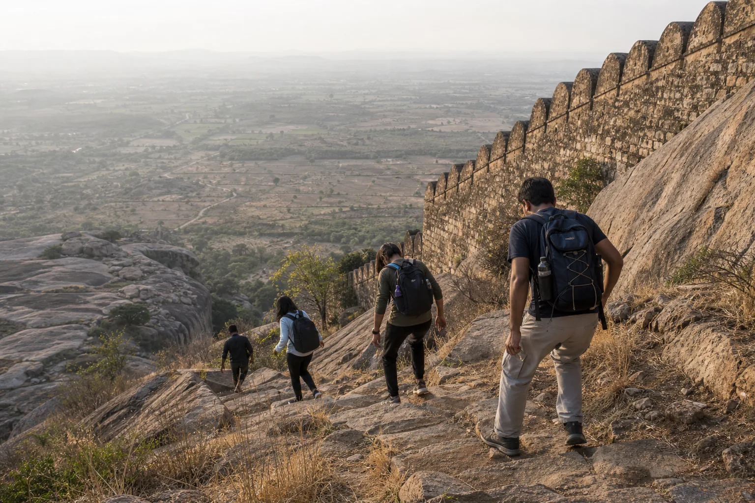
Seven concentric walls once controlled the approach. The route still passes repeated gateways, bastions and watch points, each narrowing movement before releasing the walker onto another stretch of rock. What interests us is how the plains widen below as the defences tighten above.
We would not call the trek easy. The distance is modest and there are built steps in places, but bare granite and open height change the experience. A confident walker may find the ascent straightforward; someone uneasy with exposure may find the same section exhausting. The descent is where that distinction matters most.
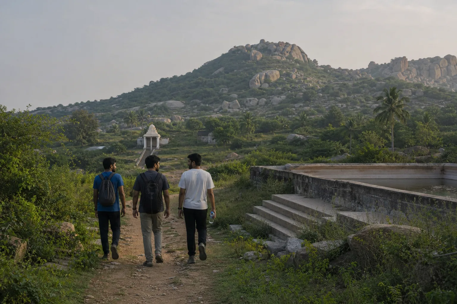
We would slow down at the water tanks, ruined walls and Gopalakrishna temple. They are not interruptions on the way to the summit. They are the reason we think this climb is more than another granite hill outside Bengaluru.
Share this sectionStart before the rock begins to radiate heat
Madhugiri is about 105 kilometres from Bengaluru, close enough for a day trip and far enough for traffic to wreck a late start. We would reach the base early. There is little shade on the upper hill, and granite that is manageable at eight in the morning can become punishing by noon.
We would carry water and something simple to eat, and pack so both hands remain free on the steeper rock. We would also keep identification handy and confirm the entrance arrangement before leaving; a changed rule should not be discovered after the drive.
We treat rain as a reason to turn back, not a cosmetic inconvenience. A wet slab loses grip quickly, and every exposed step must be repeated on the descent. If the rock is slick or lightning is building over the plains, we would leave the summit for another day.
If anyone in our group were nervous about heights, we would judge the trek by its upper section, not photographs taken near the first gate. The hillside opens as it rises, and the exposure is hardest to ignore while coming down.
Share this sectionWhen we would choose another hill
- Rain has left the granite wet or thunderstorms are forecast during the climb.
- Open heights cause persistent anxiety rather than manageable caution.
- The group needs shade, frequent facilities or a forgiving walking surface.
- You cannot start early enough to descend well before dusk.
- Anyone is relying on an organiser description without checking current entrance access.
Another fitWe would choose a lower, less exposed heritage stop when the rock or weather is the main concern.
Share this sectionCommon questions
How long does the Madhugiri Fort trek take?
Plan on two to three hours for roughly 3.5 kilometres, then add time if you want to stop at the gateways, tanks and temple rather than march past them.
Is it an easy trek?
Not in any useful sense of the word. It is short, but parts of the granite are steep and exposed. Comfort with height matters more than fitness alone.
Is permission required?
No separate trek permit was published when this guide was checked. Entrance arrangements can change, so confirm them before leaving and carry identification.
Why avoid the route after rain?
Because the descent runs over the same exposed granite as the ascent. Once the rock is wet, the margin for a careless step becomes much smaller.
Sources
We wrote this guide from the sources below. Recheck access, fees and conditions before travelling.
Keep exploring